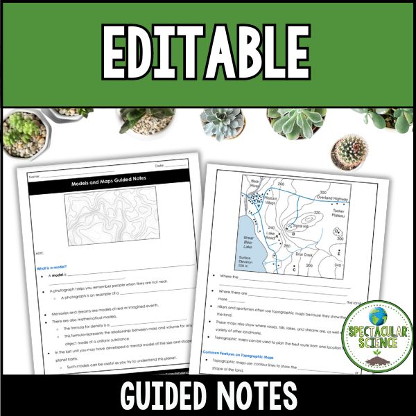
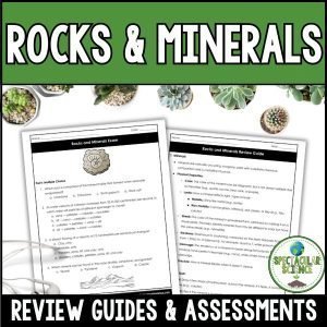
Topographic Maps and Models Presentation and Notes – Mapping Earth’s Surface
Embark on a captivating exploration of Earth’s surface with this Models and Maps Presentation and Guided Notes resource. Centered around the essential question “How are maps used to represent Earth’s surface?” this presentation provides an in-depth understanding of maps, isolines, and topographic features.
$6.00
Description:
Get your students thinking like geographers with this engaging Models and Maps resource! Centered around the big question, “How are maps used to represent Earth’s surface?”, this presentation and guided notes set will help students decode maps, interpret isolines, and understand topographic features with confidence.
Why You’ll Love This Resource:
Clear & Engaging Content – Breaks down key concepts like scale models, compass directions, isolines, and topographic maps in a way that’s easy to understand.
Practical Skills – Students will learn how to read contour lines, measure distances, and analyze gradients—real-world skills they can actually use!
Interactive & Low-Prep – Includes guided notes to keep students engaged and built-in practice questions with answers for easy review.
Flexible Lesson Structure – The presentation is designed for a 60-minute class period, but with 53 slides, it can easily be split into two or more sessions to allow for deeper discussion and practice.
What’s Included:
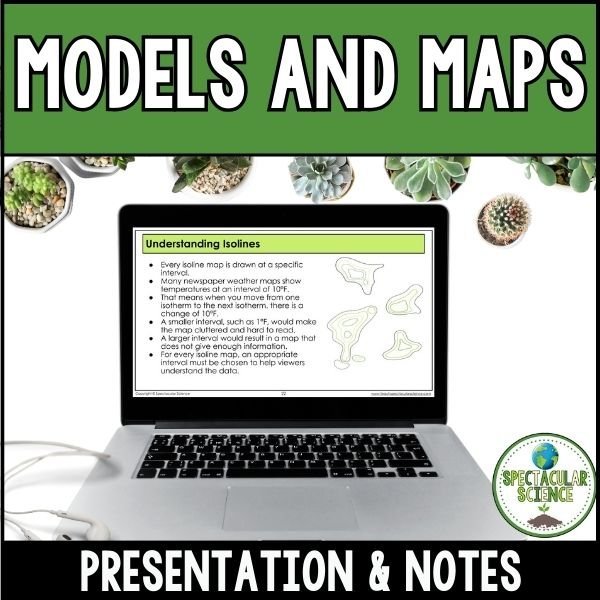
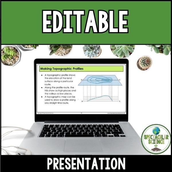
53-Slide Presentation – Visually engaging slides covering everything from physical models to isotherms, isobars, and contour maps.
16-Page Guided Notes – Keeps students actively engaged while reinforcing key concepts.
This resource is perfect for helping students develop spatial reasoning and map interpretation skills, giving them a solid foundation in Earth Science. Whether you’re introducing maps for the first time or reinforcing prior knowledge, this presentation makes learning both accessible and exciting!
⭐ Looking for quality resources and time-saving tips for your secondary science classroom? ☑ Follow Spectacular Science on TPT ☑ Subscribe to My Newsletter ☑ Check Out My Blog
☑ Follow Me on Instagram
If you have any questions, please do not hesitate to ask.
Thanks for visiting!
Jessica