Help your students unlock the power of maps with this engaging, no-prep unit! Centered around the essential question, “How are maps used to represent Earth’s surface?”, this unit gives students the tools to interpret isolines, analyze topographic maps, and navigate geographic data with confidence.
Why You’ll Love This Unit:
? Hands-On Learning – Students actively work with isolines, contour maps, and real-world mapping techniques.
? Practical Skills – From reading elevation changes to analyzing gradients, students develop essential geography and Earth science skills.
?? Low-Prep, High-Impact – Designed to be easy to implement while keeping students engaged with interactive lessons and activities.
⏳ Flexible Pacing – Includes a unit pacing guide to help you structure lessons in a way that works for your class.
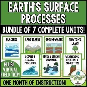
What’s Included:
✔ Unit Pacing Guide – A structured plan for seamless lesson implementation.
✔ Models and Maps Lesson Plan – Step-by-step guidance to keep lessons effective and engaging.
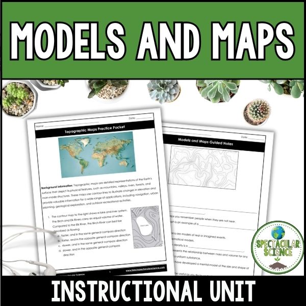
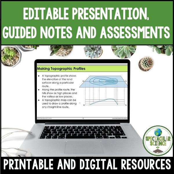
✔ Models and Maps Presentation & Guided Notes – Clear visuals and structured notes to reinforce key concepts.
✔ Isolines Practice Worksheet & Answer Key – Helps students master isoline interpretation.
✔ Topographic Maps Practice Packet & Answer Key – Reinforces contour lines, elevation, and gradient concepts.
✔ Topographic Maps Lab & Answer Key – A hands-on approach to applying topographic map skills.
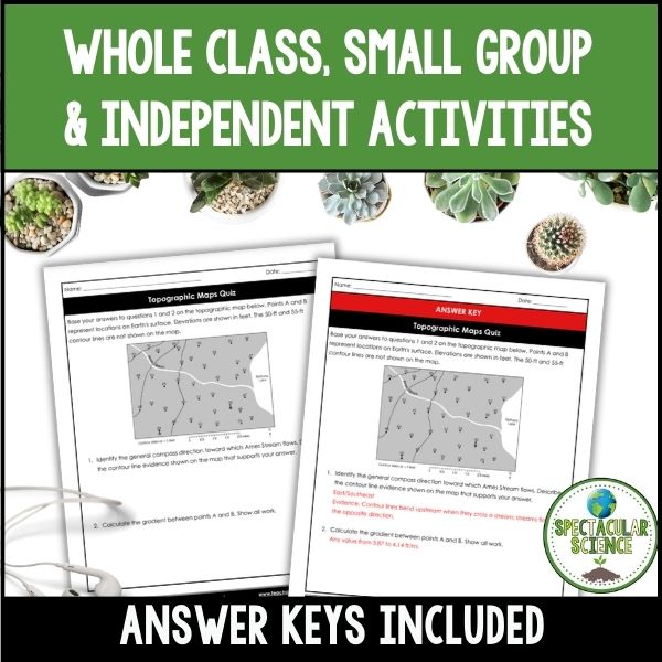
✔ Topographic Maps Quiz & Answer Key – A great way to assess understanding at the end of the unit.
? Teaching Tip: Introduce mapping concepts first, then gradually increase difficulty by incorporating isolines before diving into topographic maps. This scaffolding approach ensures students build confidence before tackling more complex map analysis!
This comprehensive unit provides everything you need to teach map skills, isolines, and topographic maps in a way that is engaging, interactive, and easy to implement. Your students will walk away with a strong foundation in map reading—a skill they’ll use for years to come!
⚠️ BUNDLE & SAVE!⚠️ Save 20% on this resource in the Earth Measures and Models Unit Bundle!
Grade Levels: 8th – 11th
Total Pages: 110+
Teaching Duration: 4 Days
What busy teachers like you have said:
⭐️⭐️⭐️⭐️⭐️ Terry M. says, “As with all of the resources by Spectacular Science, this unit was absolutely fantastic. Thorough, in depth and engaging! I’ve purchased the entire Earth Science curriculum including word walls and assessments. These products are absolutely incredible!”
⭐ Looking for quality resources and time-saving tips for your secondary science classroom?
☑ Follow Spectacular Science on TPT
☑ Subscribe to My Newsletter
☑ Check Out My Blog
☑ Follow Me on Instagram
If you have any questions, please do not hesitate to ask.
Thanks for visiting!
Jessica