Take your students on a hands-on geological investigation as they work through real-world earthquake data, map global tectonic activity, and uncover the patterns that reveal how Earth’s crust is constantly moving and changing.
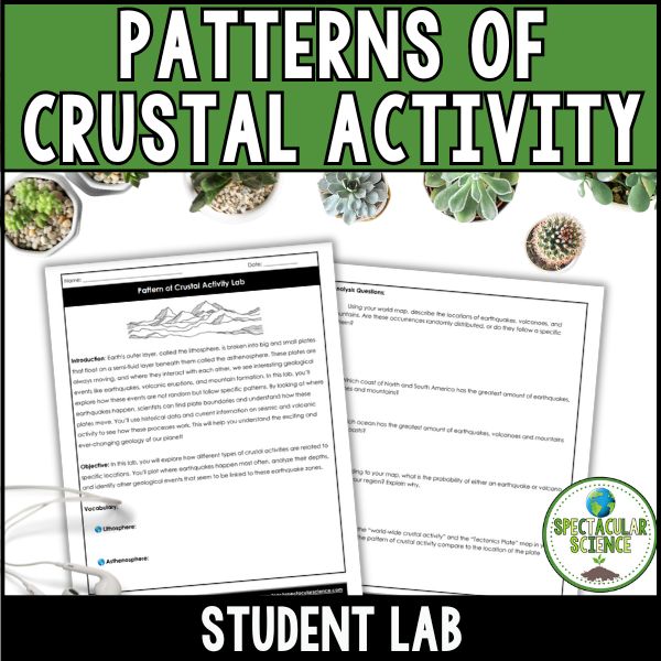
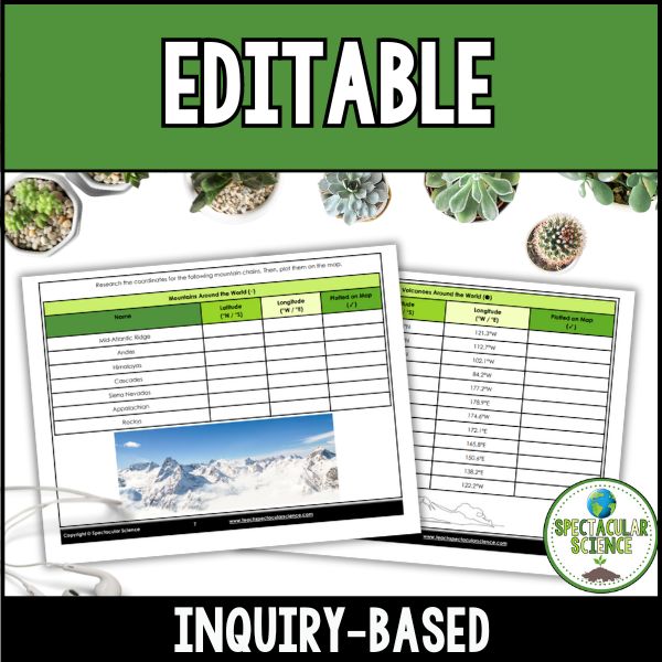
In this lab, students don’t just learn about plate tectonics, they actively build the evidence themselves by plotting data points, analyzing earthquake locations, and connecting seismic activity to volcanoes and mountain ranges. As the map fills in, students begin to see a clear global pattern emerge that explains how Earth’s surface is organized into dynamic, interacting plates.
Why Teachers Love This Lab:
- Data-Driven Investigation – Students work with authentic earthquake, volcano, and mountain data to identify real global patterns.
- Hands-On Mapping Experience – Builds spatial reasoning as students plot coordinates and visually construct Earth’s tectonic story.
- Deep Tectonic Connections – Helps students clearly see how earthquakes, volcanoes, and mountain formation are all linked through plate boundaries.
- Engaging and Flexible – Works well for both middle and high school students and fits easily into Earth science or geology units.
What’s Inside?
- Student Lab – A structured, step-by-step investigation where students plot, analyze, and interpret large-scale crustal activity data.
- Instructor Answer Key – A detailed key to support accurate interpretation and guide classroom discussion.
- Comprehensive Teacher Guide – Includes NGSS alignment, teacher notes, misconceptions, differentiation strategies, and extension ideas to support smooth and effective implementation.
Bring Earth’s crust to life in your classroom and help students discover the powerful patterns hidden within our planet’s constantly shifting surface.